Area — 150083 ha.
The length from the north to the south — 65 km.
The length from the west to the east — from 20 to 52 km.
On the Polish part of the Puscha territory there is Belovezhskiy National Park with the area of 10 502 ha and the lands of the state polish woods. On the Belorussian part of the Puscha and on the adjoining lands there was created National Park “Belovezhskaya Puscha” with the area of 150083 ha. These lands are owned by the state and are used for the nature protection.
The length of the national park from the north to the south is 65 km, from the west to the east it is from 20 to 52 km. Today its territory is divided into 16 forestries. Moreover it also includes hunting forestry “Shereshevo” with the area of 11 520 ha and hunting forestry “Vygonovskoye” with the area of 90,9 thous.ha.
For the better protection and rational resource use the territory of the national park is divided into four functional zones. The strictest environmental safety mode works in the reserved zone which serves for saving natural complexes in their natural state. In this zone all kinds of activities are prohibited except for the measures of environmental and safety research. It is 38,8 per cent of the territory of the national park and includes the major part of the oldest natural woods of Belovezhskaya Puscha.

In the zone of the regulated use (25,3 per cent), which serves to save natural complexes and provide conditions of their natural development, there allowed only some special activities and the use of natural resource is limited.
Recreation zone (5,3 per cent) is used for tourism and recreation, whereas economic zone (30,6 per cent) is for the economic activity which doesn’t prevent special protected environmental complexes from their safety.
National park “Belovezhskaya puscha” is located on the territory of three districts (Kamenetskiy, Pruzhanskiy, Svislochskiy) and two region (Grodno and Brest). The relief here is hollow hilly, plain areas alternate with separate elevations and lower spots. The highest point is the mountain near v.Porozovo (242,5 m), the lowest point is the cut-off of the river Lesnaya Pravaya near v.Homutiny (143,6 m). Most rivers have latitudinal direction (including the biggest: Lesnaya Pravaya, Narev, Narevka) and refer to the Baltic Sea basin. Their sources are directly within the forest, or in the nearby swamps. Near the northeastern edge of the Pushcha there is a watershed between the rivers of the Baltic and Black Sea basins. The Dikoe swamp is well preserved there and is one of the largest lowland swamps of the mesotrophic type in Europe.

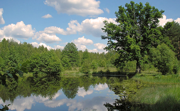
There are no natural lakes on the territory of the national park, but there are more than 10 artificial reservoirs. The largest of these are the Liadskoye and Khmelevskoye reservoirs created on the site of the floodplain of the Perevoloka River in the southern part of the National Park.
According to the geobotanical zoning of Belarus, Belovezhskaya Pushcha is located in the Neman-Predpolessky district of the subzone of hornbeam-oak and dark coniferous woods and is separated into a special Belovezhsky district. According to agroclimatic zoning, it is located in the northwestern part of the southern agroclimatic region, characterized by mild winters, the longest vegetation period and unstable moisturing.
According to long-term observations of the Kamenyuk weather station, the average annual air temperatures are positive (5.1 ° -8.5 ° C). The average temperature of the warmest month (July) is 17.8 °, of the coldest (January)is -4.4 °. The maximum and minimum temperatures reach 36.4 ° and -40.1 °. There is about 659 mm of rain, whereas most of it (almost 66%) occurs during the warm period.


